Introducing our new Data Values Advocates
We're thrilled to introduce our second cohort of six Data Values Advocates from around the world. These advocates will lead local efforts to promote and implement Data Values and change how we think about and use data, ensuring it benefits everyone equally.
The response to our second call for applications was extremely positive, highlighting an extraordinary level of passion, interest, and drive among international grassroots leaders. In just a month, we received more than 600 applications from 96 countries. As we move forward, the Data Values Project remains committed to amplifying grassroots voices and fostering meaningful action, with further engagements and implementation activities planned for 2024.
When forming this cohort, an intersectional lens was applied, considering applicants' ideas, enthusiasm, and blend of grassroots advocacy and data-related expertise. This intentional selection process ensures that our advocates are well-equipped to drive tangible change within their communities.
Meet our 2024 Data Values Advocates

The 2024 Data Values Advocates cohort includes people from Europe, Africa, Asia, Australia, and South America. Over the next few months, the advocates will co-develop a project plan and implement the Data Values Manifesto in their local contexts. They will also have the opportunity to lead and shape prominent communications, advocacy activities, and events, and to travel to a global conference as part of the Data Values movement.

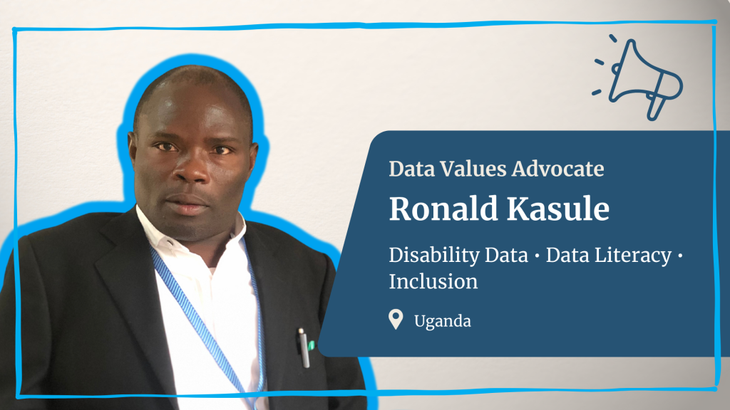
Ronald Kasule is a disability rights and inclusion activist from Uganda. He is dedicated to empowering persons with disabilities through assistive technologies and inclusive data advocacy.
"Achieving a fairer data future is crucial to me to ensure that persons with disabilities are not just seen but heard, influencing policies and practices with their unique perspectives, leading to a more inclusive and equitable society."

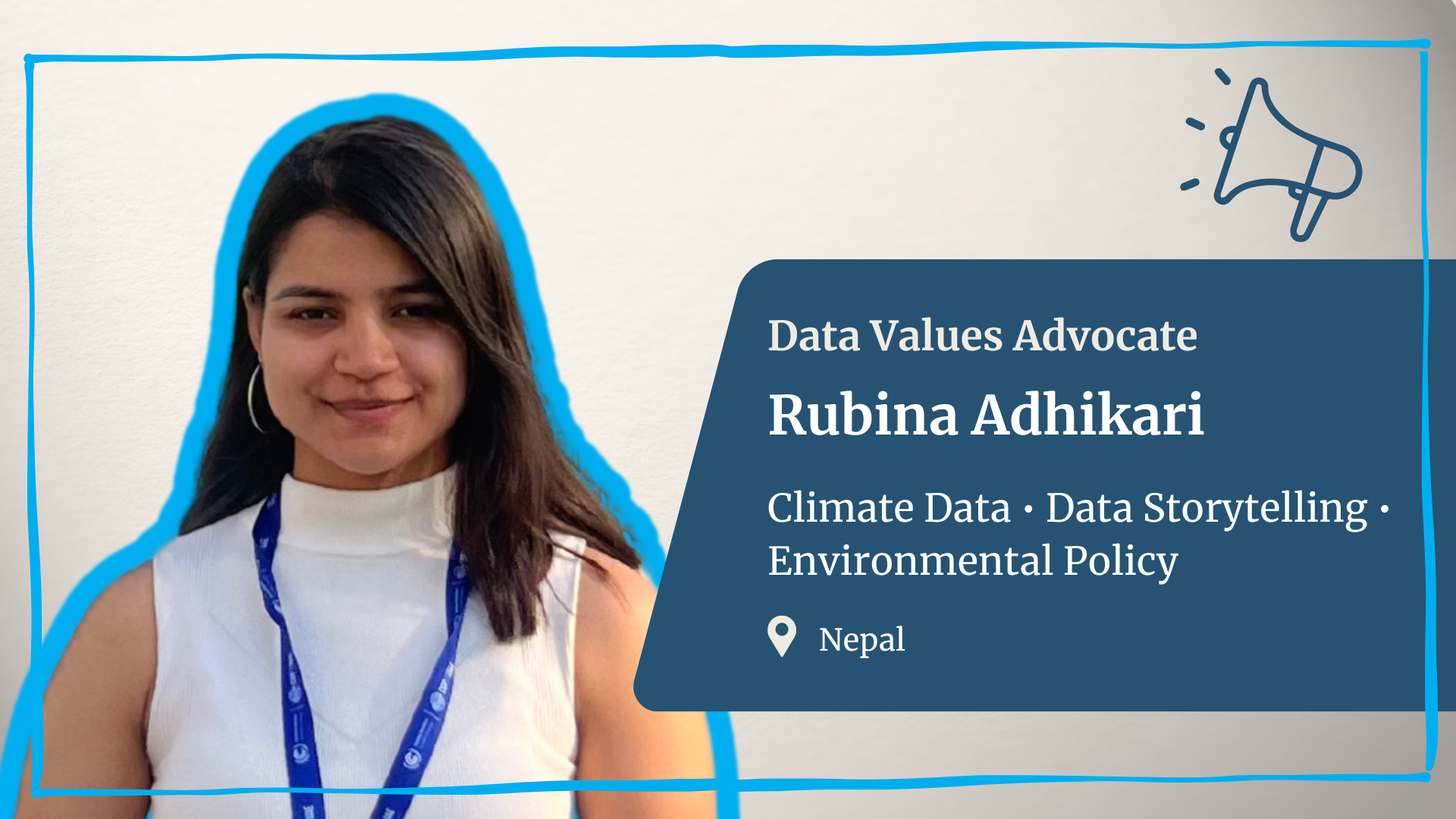
Rubina Adhikari is a data, climate, and environmental advocate based in Nepal. She is dedicated to making a significant impact on global environmental policies and practices and ensuring the inclusion of young voices in the data and policy-making process.
"Fairer data is vital for paving the way towards development, especially in the least developed countries, by unlocking potential and granting all individuals, regardless of background, access to opportunities for a better, more inclusive future."

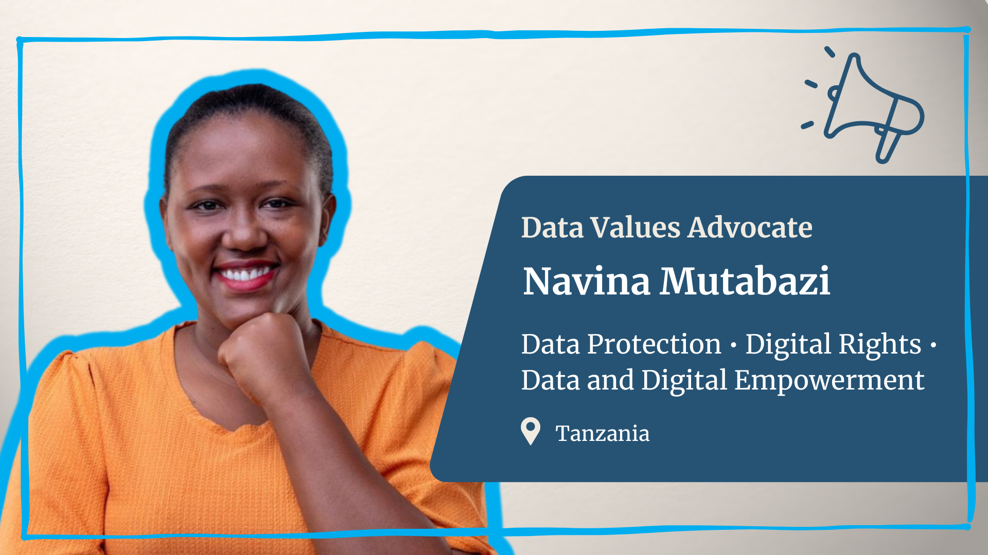
Navina Mutabazi is a young feminist from Tanzania who is passionate about data and digital transformation in the Global South. She is also passionate about data privacy, the uptake of AI, and how these topics can impact women and young girls, especially in rural communities in Africa.
"Achieving a fairer data future is crucial to me as it ensures marginalized voices, like women and young girls in Africa, are heard and protected. My advocacy work strives to empower them to navigate digital spaces safely and inclusively."

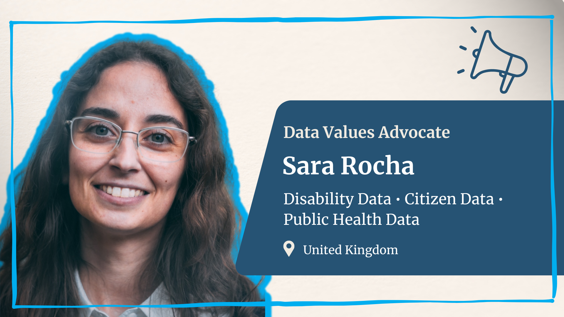
Sara Rocha is a disability and data rights advocate in the United Kingdom. She is passionate about citizen data and ensuring the voices of persons with disabilities are heard and included in data. She also works in the public health data space.
"For marginalized communities, such as persons with disabilities, where decision-making has overlooked our needs and barriers, data serves as the most important tool in disclosing and contesting systemic oppression on our path to inclusion."

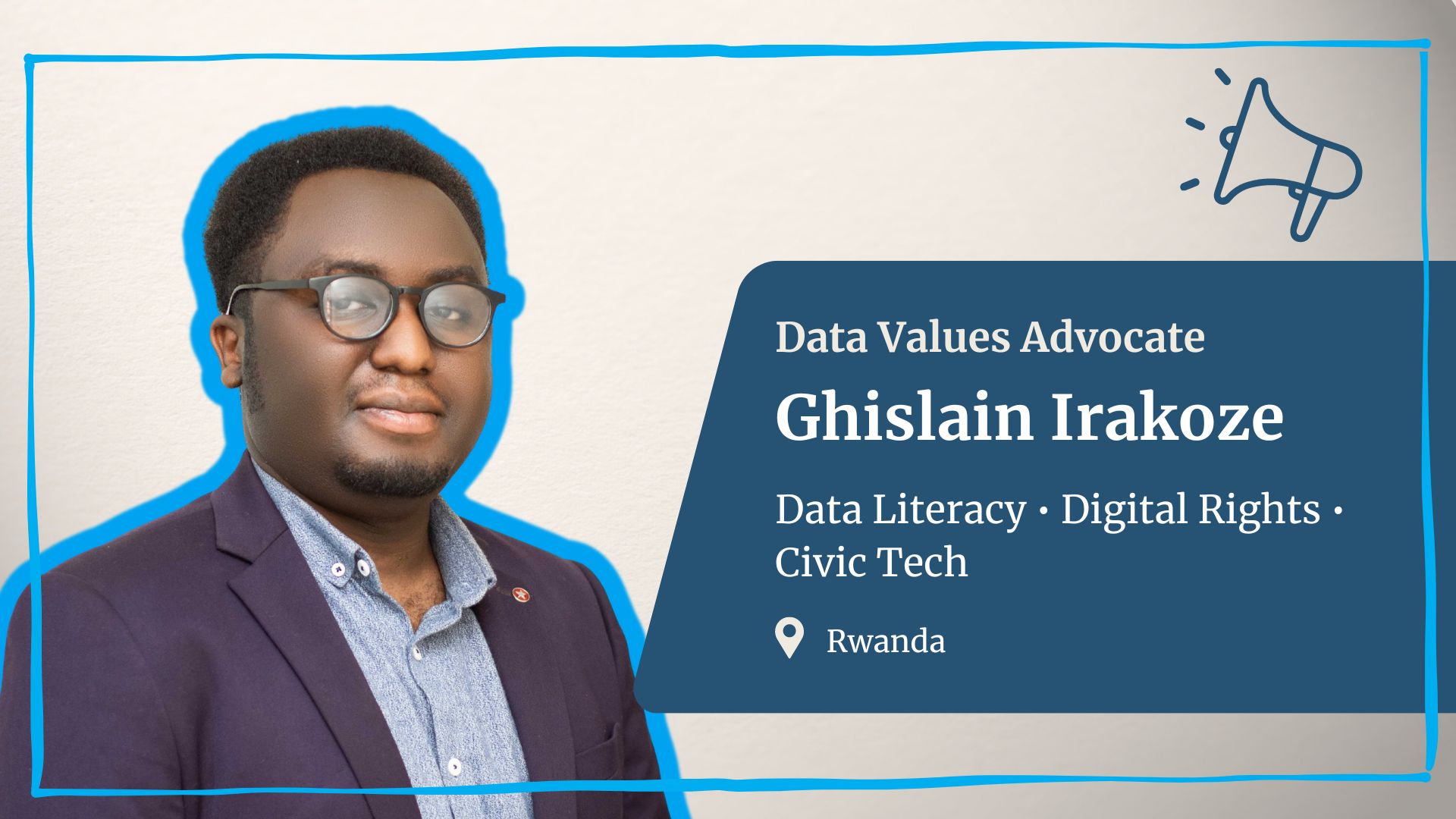
Ghislain Irakoze is a young social entrepreneur, activist, and researcher from Rwanda. He is passionate about civic tech, data literacy, digital rights, and youth inclusion. He founded Wastezon, a social enterprise that aims to close the digital divide by refurbishing e-waste into low-cost, quality-vetted devices to supply households in Rwanda.
"A fairer data future can level the playing field, systematically promoting both social and economic equity while reinforcing trust and transparency."

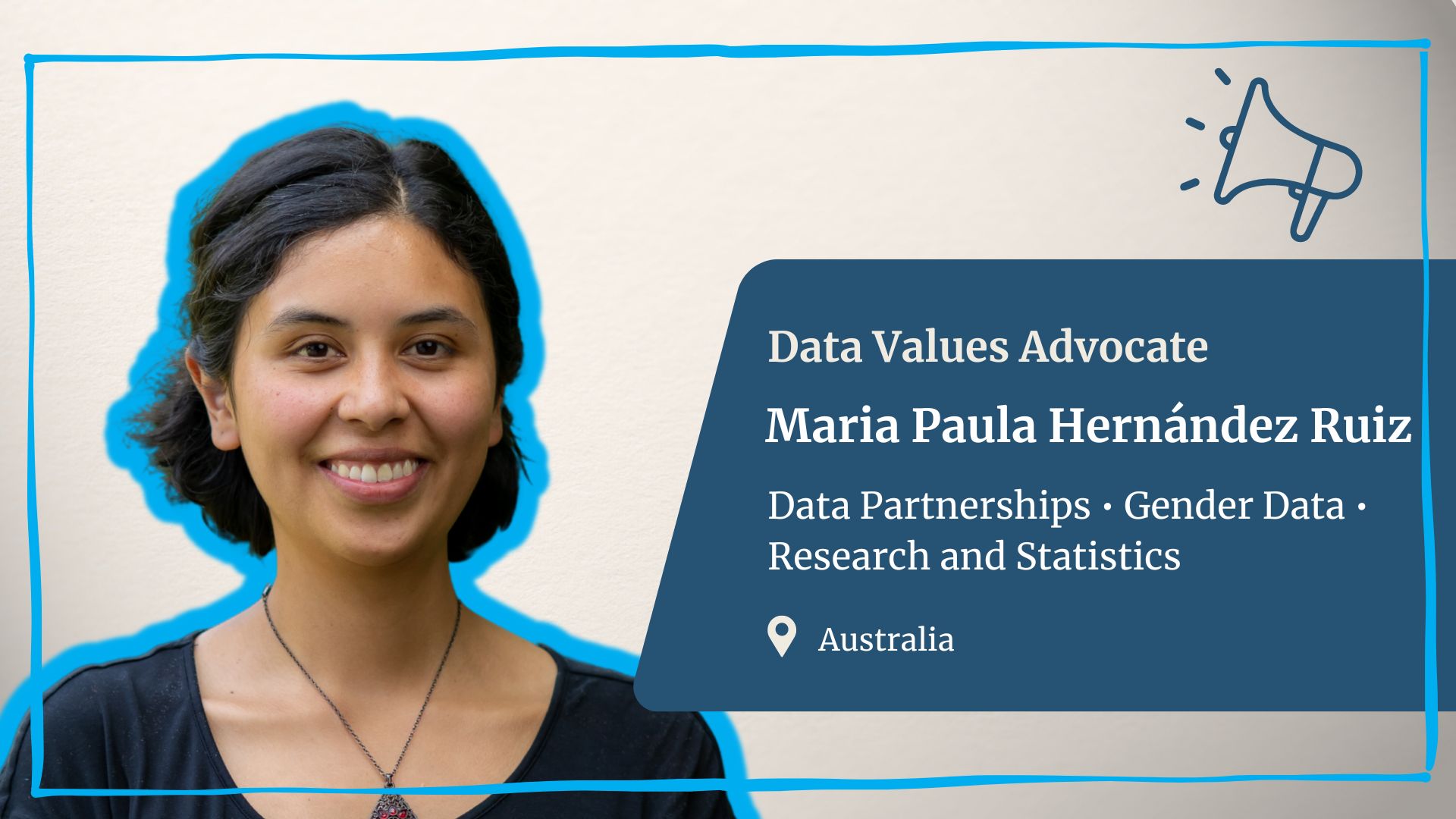
MarÃa Paula Hernández Ruiz is a researcher and data and gender activist from Colombia. Currently studying in Australia, Maria is exploring how quantitative gender data is the product of social relationships and how data can build a fairer world for everyone, especially those whose data are used to produce statistics.
"We create data all the time, but it serves few of us. If we can make it fairer and more equitable, we could become our own best advocates."
Learn more about the new Data Values Advocates Program and get involved with the Data Values Project
The Data Values Advocates Program is a core part of the #DataValues Campaign, a global movement working to create a fairer data future and to ensure that those most affected by today's unequal data processes are at the forefront of shaping a more equitable world.
The Data Values Advocates program allows people, especially those often marginalized or from underrepresented communities, to have a voice in data and participate meaningfully in how data is designed, collected, managed and used. It also allows people to be at the forefront of positive change in how data systems and policies are governed. Since launching the program in late 2022, the Global Partnership has supported seven community activists in carrying out and implementing data values in their communities. In 2024, we will support six new advocates in our second cohort.
The impact of our first cohort of advocates highlights the transformative potential of community-led action and what it truly means to bring to life and act on data values. The advocates' work created a tangible impact and served as a catalyst, supporting others to engage and advocate for more equitable data practices.
The program is also committed to sustaining a community of passionate individuals dedicated to promoting equitable, ethical, and responsible data systems. As part of our efforts to maintain and engage our growing advocate community beyond the duration of the program, we also formed the Data Values Advocate Alumni Network, where past advocates can continue to engage and gain support to demand a fairer data future.
Interested in learning more about the Data Values Project and how you can get involved? Sign up for the campaign mailing list to learn about more opportunities and moments in the Data Values Project and explore our Data Values Manifesto.
CartografÃa abierta para el desarrollo sostenible en América Latina y el Caribe
En el segundo blog de nuestra serie que explora el impacto del Festival de Datos, lea acerca de una nueva alianza entre el equipo de Humanitarian OpenStreetMap Team y la Global Partnership, que se desarrolló a partir de un taller en el Festival. Trabajaremos junto a los Institutos Nacionales de EstadÃstica de América Latina y el Caribe para fortalecer y mejorar los datos cartográficos en la región.
¿Cuál es el estado de conservación de nuestras áreas protegidas en materia ambiental? ¿Por qué algunos de nuestros centros educativos con mejores rendimientos se concentran al sur o al norte de alguna avenida en nuestras ciudades? ¿En dónde se concentran los daños causados por desastres naturales, y el efecto persistente del cambio climático? Estas, y más preguntas, son las que quienes toman decisiones en América Latina y el Caribe deben enfrentar, para dar respuestas y servicios eficaces frente a las crisis. Muchas veces toman decisiones basados en información pobre, no actualizada, o costosa de obtener.
El 6 de Noviembre 2023, en el marco del Festival de Datos, Humanitarian OpenStreetmap Team (HOT) y la Global Partnership for Sustainable Development Data organizaron un desayuno conversatorio junto con representantes de las oficinas de los Institutos Nacionales de EstadÃstica de Paraguay, Colombia, Chile, Suriname, Uruguay, Costa Rica, República Dominicana y Jamaica para indagar cómo mejores datos cartográficos pueden ayudar a abordar estas preguntas. En esta sesión se exploraron las necesidades de los paÃses de la región en materia de información cartográfica para enfrentar sus desafÃos conjuntos.
Por qué necesitamos mejores mapas
Nuestros paÃses tienen desafÃos en acceder o construir cartografÃas para sus ejercicios censales y de monitoreo de dinámicas poblacionales. La mayorÃa de los paÃses cuentan con leyes, marcos metodológicos e información geográfica desactualizada; utilizando bases de datos abiertos de sus servicios públicos e imágenes satelitales. Por sus métodos tradicionales, varios paÃses no logran acceder a múltiples datos: pueden ser medioambientales como por ejemplo el ordenamiento territorial alrededor del agua o el monitoreo de deforestaciones para la minerÃa; como demográficos, por ejemplo comunidades, caracterÃsticas sociales y culturales en regiones excluidas. Además de la adecuación normativa, es necesario incorporar nuevas tecnologÃas y fuentes de datos para proporcionar un panorama más claro. Sin embargo no existen plataformas comunes entre los paÃses.
En este contexto, el rol de OpenStreetMap (OSM) se torna un valioso aliado. OSM es una plataforma geográfica abierta, que permite a cualquier persona contribuir al mapa y utilizarlo libremente. Por su naturaleza abierta y participativa, asà como por su versatilidad, OSM es considerado un bien público digital por la Alianza de Bienes Públicos Digitales (DPGA, por sus siglas en inglés), es decir una plataforma de código y datos abiertos, que a su vez se adecua a los contextos de privacidad, tratamiento de datos personales y humanitarios de cada región. La apertura permite el crecimiento de un grupo de actores que colaboran para hacer crecer la plataforma y que pueda ser utilizada como infraestructura para el desarrollo de distintos proyectos.
Por ejemplo, algunos paÃses pueden utilizar estos datos para triangular información, actualizar la propia información disponible (un desafÃo común como refleja el Ãndice ODIN, o Inventario de Datos Abiertos por sus siglas en inglés) o focalizar su trabajo en sectores estratégicos como el agrÃcola. Además, nuestros paÃses enfrentan desafÃos puntuales en materia de deforestación, minerÃa ilegal o propiedad de la tierra, donde los datos, en general, son escasos para monitorear la magnitud de las problemáticas. Y aquà es donde la ciudadanÃa podrÃa contribuir de manera activa con datos, algo que distintas aplicaciones en el marco de OSM permiten, y serÃan de fácil adopción. Visibilizar este tipo de información desde la perspectiva local, es de mucha importancia para los tomadores de decisiones.
De este encuentro surgen tres preguntas interesantes para la región:
- ¿Cómo puede la región posicionarse conjuntamente frente a la importancia de los datos abiertos en relación con el emergente mercado de datos espaciales? Plataformas como OSM colaboran activamente como empresas que proveen información espacial de calidad pero mucho más podrÃa hacerse en conjunto, con los paÃses de América Latina y el Caribe.
- ¿Cómo generar capacidades para que el uso de datos no sea solo con fines de construcciones cartográficas, sino también para producir estadÃsticas? La vinculación entre cartografÃa y estadÃstica es notoria, incluso algunos paÃses integran las instituciones encargadas de las estadÃsticas y cartografÃa. Las posibilidades de innovar en materia de producción, integración, uso y visualización de los datos ofrecen avenidas de colaboración muy importantes para los institutos de estadÃstica de la región.
- ¿Cómo los paÃses de la región pueden avanzar hacia sistemas de información geográfica integrados y abiertos que den soporte a la actividad estadÃstica con nuevas fuentes de datos, entre otras? Algunos paÃses ya han realizado avances significativos pero los sistemas de información geográficos abiertos pueden aún incorporar nuevas formas de trabajo y nuevas fuentes de información provenientes de la participación ciudadana.
En resumen, identificamos tres necesidades regionales claves que se discutieron en el marco de nuestro evento. Estas son:
- Aumentar el uso participativo de datos generados por la ciudadanÃa para crear mejores maps.
- Mejorar la granularidad de la información cartográfica.
- Capacitar a la población y al sector público en la utilización de nuevas fuentes de datos y herramientas.
Incorporar OSM y sus herramientas, en colaboración con la Global Partnership, es la posibilidad de incorporar una tecnologÃa abierta de menor costo fortaleciendo asà el universo cartográfico regional. Esta asociación creará conocimiento, colaboración y capacidades en los paÃses de la región. Como un bien público digital, los paÃses pueden avanzar en estrategias comunes y compartidas para responder a estos desafÃos y favorecer el aprendizaje conjunto. La contribución a la creación de mapas confiables es solo el primer paso para involucrar a nuestras poblaciones en el conocimiento de su propio territorio, de sus desafÃos y de las acciones que pueden ayudar a resolverlos.
HOT y la Global Partnership estarán explorando oportunidades con los paÃses para fortalecer capacidades en cartografÃa, mapeo y estadÃsticas en la región en el transcurso del año 2024. Trabajaremos con los paÃses que enfrentan desafÃos para obtener información actualizada y confiable para enfrentar los temas claves del desarrollo regional.
Open mapping for sustainable development in Latin America and the Caribbean
In the second blog of our series exploring the impact of Festival de Datos, read about a new partnership between Humanitarian OpenStreetMap Team and the Global Partnership for Sustainable Development Data, which developed out of a workshop at the Festival. We will be working together, along with National Statistical Institutes in Latin America and the Caribbean, to strengthen and improve map data in the region.
What is the status of our protected environmental areas? Why are some of our best-performing educational centers situated on the south or north of a particular avenue in the city? Where are the damages caused by natural disasters concentrated, and which areas are experiencing the persistent effects of climate change? The decision-makers in Latin-America and the Caribbean encounter these questions, among others, when looking to design effective services and respond to crises. Frequently, they make decisions based on poor, outdated or costly information.
On November 6th 2023, during the Festival de Datos, Humanitarian OpenStreetmap Team (HOT) and the Global Partnership for Sustainable Development Data organized a workshop inviting representatives from National Statistical Institutes in Paraguay, Colombia, Chile, Suriname, Uruguay, Costa Rica, Dominican Republic, and Jamaica to explore how better map data can help address these questions. During the session, we explored the needs of the countries in the region regarding cartographic information to tackle their joint challenges.
Why we need better maps
Our countries face challenges in accessing or creating maps for their censuses and for monitoring population dynamics. Most countries have outdated laws, geographic information and methodological frameworks; they all use open databases from public services and satellite images. Because of these traditional methods, they cannot access reliable environmental data, such as water-related data for land planning and deforestation monitoring for mining, or up-to-date demographic data, such as information on communities, social and cultural characteristics in secluded regions. In addition to regulatory adaptation, new technologies and data sources are needed to provide a clearer picture. However, there are no common platforms within the countries.
In this context, OpenStreetMap (OSM) can help. OSM is an open geographical platform that allows anyone to contribute to the map and use it freely. Due to its open and participatory nature, as well as its versatility, OSM has been recognized as a digital public good by the Digital Public Goods Alliance (DPGA). It’s an open code and data platform that can be adapted to the privacy contexts, personal and humanitarian data related to each region. The openness allows a diverse group of actors to work together to expand the platform, which can be used as infrastructure in the development of various projects.
For example, many countries could use OSM to update their own internal databases (a common issue to measure the Open Data Inventory, or ODIN) or to focus their efforts in strategic sectors such as agriculture. Furthermore, our countries face specific dilemmas concerning deforestation, illegal mining or land ownership – areas where, typically, the data is insufficient to monitor the scale of the challenges. Citizens could actively contribute data, and making this information visible from the local perspective will enhance the decision-making process. Various applications within the framework of OSM allow it, and could be easily adopted.
From this workshop, three interesting questions arose for the region:
- How can the region position itself as a united front in regard to the significance of open data in the face of the emerging spatial data market? Platforms like OSM are actively working as entities that provide quality spatial information, but much more could be done collectively within the countries of Latin America and the Caribbean.
- How to build capacities so that the use of data is not only for cartographic purposes, but also for producing statistics? The connection between cartography and statistics is clear; certain countries merge the institutions overseeing these two areas. The potential for innovation in terms of data production, integration, use and visualization offers important opportunities for collaboration among the statistical institutes in the region.
- How can countries in the region progress towards integrated and open geographic information systems that support statistical activities with new data sources and approaches? Some nations have already made noteworthy strides; nevertheless, the open geographic information systems could still integrate new ways of working and new sources of information originating from citizen engagement.
In summary, three key needs for the region were identified at our event. These were:
- Increasing the use of participatory and citizen-generated data to create better maps.
- Enhancing the granularity of cartographic data.
- Strengthening capacity among the population and the public sector for using new data sources and skills.
Integrating OSM and its tools, in collaboration with the Global Partnership, means the possibility of incorporating cost-effective open technology, which will strengthen the cartographic landscape. The purpose of this partnership is to build knowledge, collaboration and capabilities in the countries of the region. As a digital public good, countries can develop common and shared strategies to address these challenges and promote collective learning. The creation of reliable maps is just the first step in engaging our populations in understanding their own territory, its challenges, and the actions that can help to address them.
HOT and the Global Partnership will be exploring opportunities with countries to strengthen capabilities in cartography, mapping and statistics in the region over the coming year. We will work with countries facing challenges to get up to date and reliable information to face key development challenges.