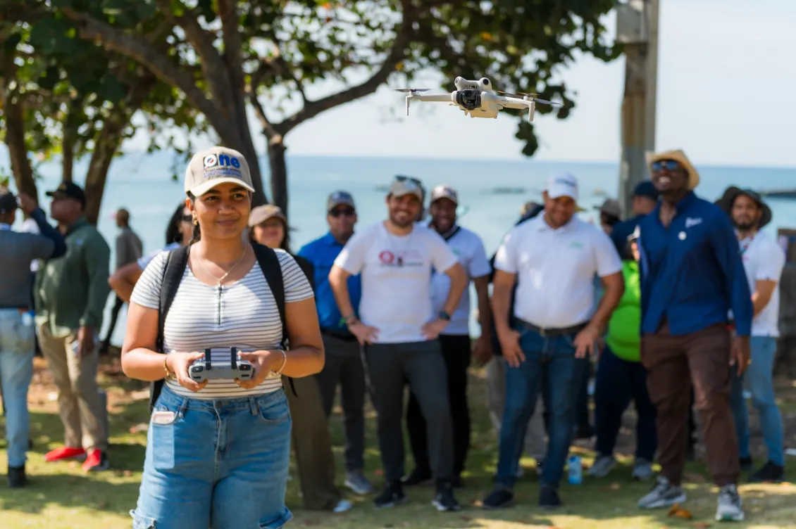
In this workshop, training was provided to the National Statistics Office (ONE) of the Dominican Republic to address the challenges of Sargassum coastal flooding. Using participatory mapping and open data, the training delivered by the Global Partnership for Sustainable Development Data and OpenStreetMap, built local capacities for data collection using a free, open, and replicable platform through training and technical assistance.
Read more from ONE here (in Spanish)
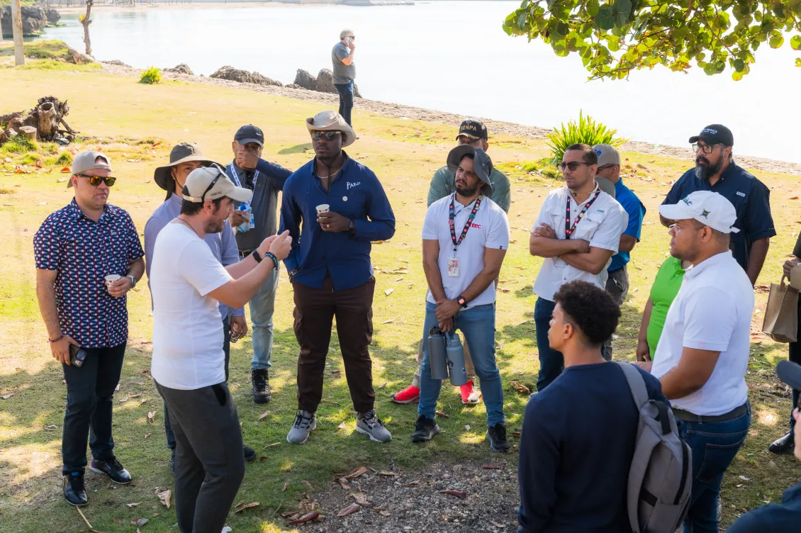
This training supports local experts to use open software technologies and drones for better monitoring of the region, with a special focus on the treatment of Sargassum. Throughout the workshop, various remote and field mapping methodologies and tools were discussed to provide participants with the knowledge and practical skills needed for a pilot case study in Santo Domingo.
Background
For almost a decade and a half, the Caribbean has faced the emergence of benthic geological algae, which rise to the surface and transform into waste, triggering a variety of social, economic and environmental problems. Since 2023, a new Sargasso Sea has been identified, amounting to approximately 13 million metric tons. Despite lacking a public access platform for systematized data, the Ministry of Environment and Natural Resources stated that in 2022 Dominican Republic received 3.5 million tons of sargassum.
To contribute to the proactive management of sargassum, three key elements are required: quality geographic information, community participation in data generation and management, and state analysis, prediction and response capabilities.