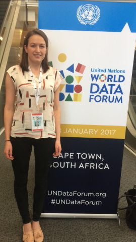
Last week I attended the first UN World Data Forum to share the work the Humanitarian OpenStreetMap Team (HOT) is doing with its partners towards achieving the UN Sustainable Development Goals (SDGs). The conference highlighted the challenges that lie ahead in measuring progress against the SDGs, and the need to harness open and crowd/citizen-generated data sources to support officials and National Statistical Offices. Our goal was to share how OpenStreetMap, the community, and the ecosystem of open mapping tools can support achieving the SDGs.

OPENSTREETMAP AND THE SDGS
As a starting point for groups interested in OpenStreetMap (OSM) for development, we’ve created an Open Mapping for the SDGs Toolkit in partnership with Mapbox, the World Bank GFDRR, and Peace Corps, as part of our commitment to the Global Partnership for Sustainable Development Data. The guide introduces the ways in which policy makers and organisations working in-country can use open mapping tools.
One key theme of the conference was the need to disaggregate data so humanitarian and government organisations can access and digest data in order to analyse and get the right insights they need to take action. This needs to have a geospatial component, so the application of OpenStreetMap as a tool is clear.
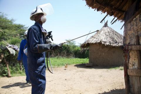
For example, OpenStreetMap is being applied to address many health-related SDGs. Malaria is a disease that affects millions of people around the world in some of the most unmapped places. When trying to respond to malaria, currently organisations do not have detailed data on the number of vulnerable people in an area. Malaria spreads through mosquito bites, and if you can prevent bites, you can reduce the spread of infection. This means that you need to know where those vulnerable to malaria live, so you can spray their homes with insecticide or distribute bednets. This way you can help more people more quickly. Many organizations and HOT partners are leveraging OSM to have open and shared building and road data to plan spray and bednet distribution campaigns.

Another challenge raised multiple times was how to build partnerships to collaborate across different sectors effectively, and how to harness the power of unofficial data producers to help create the huge mass of data needed to measure against the goals. I shared the ways in which HOT and OSM communities do this around the world, for example mapping flood risk and water and sanitation access in Dar es Salaam, Tanzania, which contributes to SDG 6. This project, Dar Ramani Huria, brings together 13 partners, including academic, government, NGO, and aid organisations. Many other organisations that are currently using OpenStreetMap data for development projects also shared their work. For example, mapping projects coordinated by PEPFAR have been addressing HIV/AIDS program coverage, supply chain logistics, and health facility analyses.
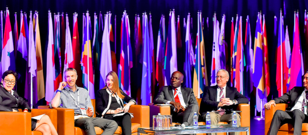
People were impressed by the quality of data that is available from the OSM mapping community, and there was great interest in the size and dedication of the OSM community, which gains up to 40,000 users each month. We were lucky to have two spots at the conference to demonstrate more of the great work HOT is doing. I presented on how OSM data can be used to create Data Visualisations to easily communicate on issues to inform decision making and policy. I also joined an intriguing ‘Missing Millions’ panel discussion, which highlighted the significant number of vulnerable groups who are under-represented in data collection efforts and so are invisible to governments and development partners working towards the SDGs, and links closely to the Missing Maps project.

This week, HOT is attending SatSummit to share new work on OpenAerialMap, facilitate an Imagery Coordination Working Group meeting, and talk more about how we’re mapping for malaria. Follow @hotosm for updates from the Summit, and check out the agenda here.
If you are interested in setting up an open mapping project, or have any questions after reading this article or the Open Mapping for the SDGs guide, we would love to have a conversation with you! Please contact [email protected].
HOT’s work would not be possible without the support of our dedicated mapping community! Thank you to those who give their time to improve outcomes for people around the world by putting them on the map. To get involved with our malaria mapping efforts, you can head to the Tasking Manager and check out these projects.
