We have been supporting grassroots projects in Tanzania for the last 41 years. We also have a crowdmapping project of rural Tanzania in OpenStreetMap.
Priorities as a partner of the Global Partnership for Sustainable Development Data
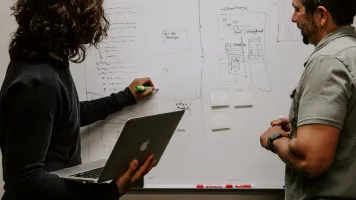
We are mapping rural Tanzania into OpenStreetMap via a combination of remote mapping using satellite imagery, open government data, and local mappers using Maps.Me on the ground.
This is a volunteer-run project and we appreciate any help from anyone, but particularly GIS specialists.