On October 12, the Kenya National Bureau of Statistics (KNBS) brought national stakeholders together in Nairobi for a first look at a dashboard that estimates where cholera outbreaks are likely in the coming weeks. The University of Florida and the Global Partnership for Sustainable Development Data ran the workshop as part of the Geospatial Earth Observations for Cholera Response (GEO-CORE).
Cholera response usually starts once people are already sick. The dashboard is meant to move that point earlier. The disease spreads through water and food contaminated with Vibrio cholerae, and the risk climbs when drought, heavy rain or disasters cut people off from safe water and sanitation. Figures shared at the workshop put access to safe drinking water in Kenya at 59 percent and access to basic sanitation at 29 percent.
The University of Florida team walked participants through the model behind the dashboard. It uses NASA satellite records of rainfall and temperature, a drought index, and data on water and sanitation access, population density, and displacement. The model compares conditions in the four weeks before a target date with the same weeks in past years, then gives each area a risk score for the next four weeks. A threat level shows whether that risk is rising or falling.
The team stressed that the score does not count cases. It shows where conditions favor an outbreak, so health teams can start testing water and stocking medicines before cases appear.
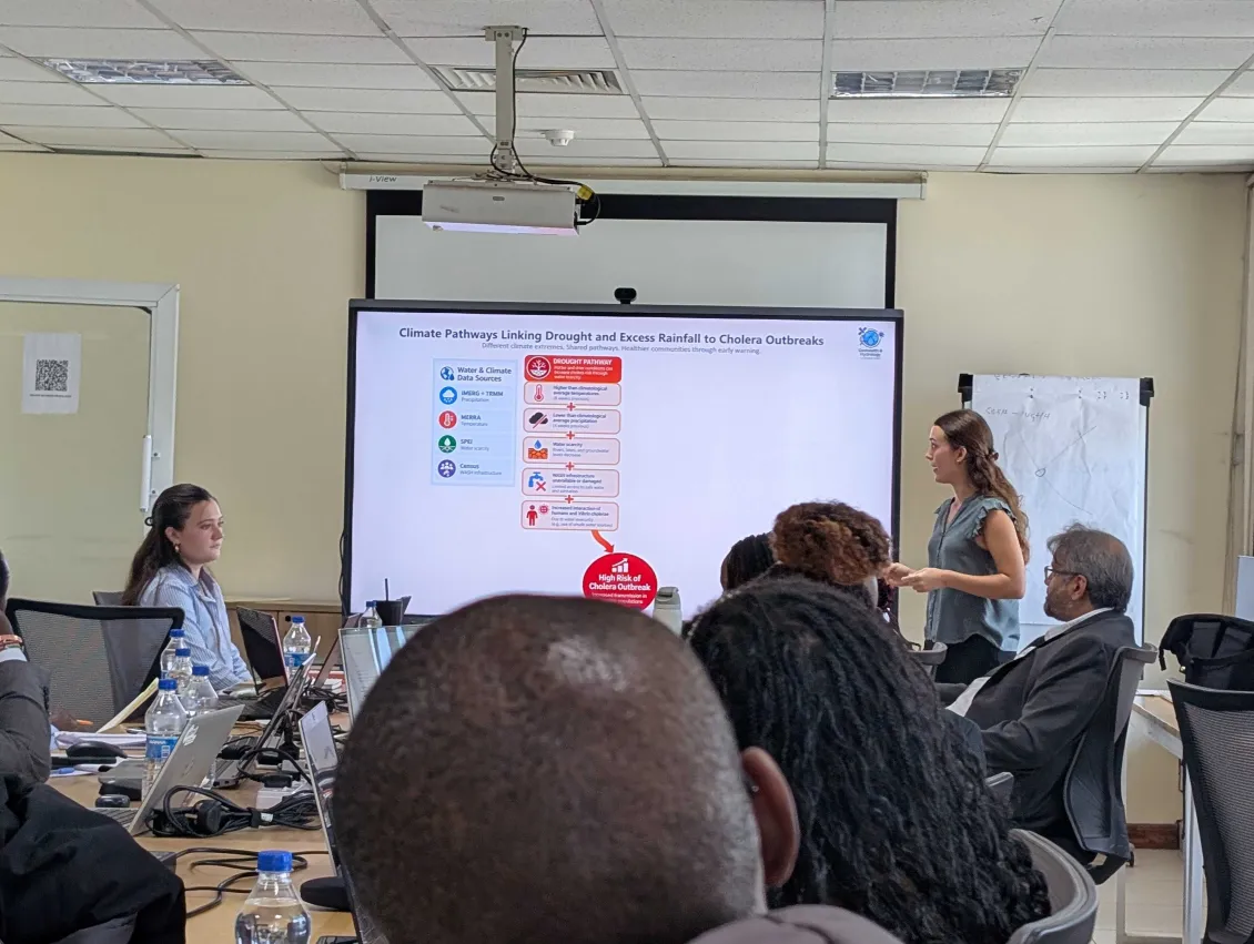
Participants then used the dashboard themselves. Working through scenarios for Kenyan counties, they found the highest risk areas and measured how far communities were from the nearest health facilities.
The rest of the morning was about what Kenya needs from the system. Participants looked at data that could make the model more accurate, including county health indicators, cholera surveillance records, transport routes and figures on internally displaced people. They also discussed who should use the dashboard, how alerts should reach those users, and whether parts of it should be open to the public.
KNBS is set to help improve the health facility data the dashboard draws on. Planned upgrades include automatic uploads of new risk maps, a mobile view, and summary statistics on cholera cases.
Feedback from the workshop will shape the next version of the dashboard. Kenya is the first country in GEO-CORE, and Nigeria will follow, building on what Kenya learns.