This post was originally published at GEO Blog: Observations.
The last few months in the world of data have been all about collaboration. The year opened with January’s UN World Data Forum in Cape Town, which brought together well over a thousand people from hugely diverse organisations, including many in the GEO community, to talk, learn, and plan how to improve the production and use of data.
Last week saw the regular Statistical Commission meeting at the United Nations in New York – an event which is fast becoming a regular fixture for non-statisticians too. A packed program of side events and meetings brought together different worlds of data to talk about how to bring their different skills and ideas to bear on the problems faced by governments as they put in place the data infrastructure to achieve and monitor the Sustainable Development Goals.
All this is absolutely our core business at the Global Partnership for Sustainable Development Data, and we were heavily involved in both events. We were created to be a place where very different organisations involved in the production and use of data can come together and find out how collaborating can allow them to do more than they can do separately.
We are supporting collaboration in very practical ways too, and were absolutely delighted to be able to announce last week the winners of the first Innovation Fund projects, supported by the World Bank, and to be able to support ten pilot initiatives which are focused on collaborative innovations in using data to solve practical problems. The initiative will bring the benefits of enhanced understanding for good environmental and political planning in the short term, as well as inspiring other similar projects as those results are shared.
The Group on Earth Observations, our Anchor partner, coordinated submissions for projects with an Earth observation focus, and I am pleased to see two of the ten finalists make use of Earth observations (EO).
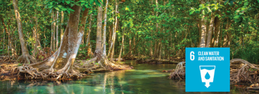
Wetlands monitoring in Uganda, through a collaboration between DHI GRAS, the University of Twente, and the European Space Agency is being led by the Ramsar Center for Eastern Africa. This demonstration will harness the potential to use EO to provide a full national wetland inventory in Uganda, which has been a pilot country for monitoring SDG Target 6.6.
Sustainable fishing is vital to sustain human development in coastal areas, as well as maintaining sustainable management of life in the oceans, encapsulated in SDG Goal 14. Fishermen from low-income countries fish at night. The project for ‘Mapping Night Time Fishing Activity’ is led by the University of Boulder, Colorado, to better understand long-term nighttime fishing activity in Southeast Asia.
The other projects selected include improving registration of Syrian refugees in Lebanon, helping health workers predict patient behavior in Africa and using mobile phone signal attenuation to estimate rainfall. We were overwhelmed with the quality of proposals received and we are working to make sure we can support more projects in the future.
This initial pilot round of funding ranges from $25,000 to $250,000 according to its stage of development and potential to scale-up. I know these projects will bring us some valuable lessons to share throughout the GEO community and the broader Global Partnership. Not only will we hopefully inspire more projects along these lines, but we will have the tools to demonstrate the power of data for effective development programming, and the power of collaboration for effective data.